
DCKC runs a weeklong club sea kayaking trip and each year a proposed area is discussed and then the weather gods take out Plan A, Plan B and Plan C… then it turns out Plan D was always the best options anyway. This year the North and North West Coasts, hopefully including going around Cape Wrath was proposed and a willing group of 8 signed up for the trip.
It would be fair to say that the lead up to trip was less rigorously planned than in previous years. Although the dates were sorted months ago to suit tidal directions and Springs/Neaps dates, it was as we got closer trip organisers were in varying states of injury, snowed under at work, or for the lucky few in Canada kayaking. A Zoom planning meeting on the Wednesday evening for a Friday morning departure gave just enough time for final travel arrangements, food packing needs (5 nights camping food in the boat) and a check of shared group kit.
When Friday arrived three cars headed North; Graham and Pat collecting Bev near Inverness, Danny and Geoff squeezing Misha into their car and Paul and Rob travelling in luxury. We slowly assembled just North West of Ullapool at Ardmair Point, our launch point for the evening. As kit was assembled and slowly moved to the kayaks on the shoreline the varying degree of preparedness was revealed. I was clearly in last place, wet paddling shorts from the session at Pinkston the night before, my food not in individual bags labelled Day 1, day 2 etc like everyone else, but rather in a single ikea bag simply labelled “CHAOS”.
Slowly the shuttle drivers boats were packed and the drivers headed off for hour drive to Scourie to drop a car at our planned end point for the first leg. The drive through some of Scotland’s best scenery with cloud thankfully above the mountain tops was stunning. Also stunning was a couple of NC500 drivers contributions to car crash near misses… a land rover Discovery overtaking on a blind bend and a campervan swaying all over the road as the driver pointed our scenery to their passenger caused a few pulse raising moments.
On the way back to the start point the call was made, and Danny headed off to get chips from Ullapool ready for our arrival at the put in. After 8 hours of driving launching at 8pm there was a question of how far were we paddling….. the answer thankfully was just one kilometre to a camp spot on Isle Martin, the closest of the Summer Isles. A very efficient landing, a quick tent pitch and we were ready for bed and adventure.
Words by Graham Swanson.
The numbers
| Day | Date | Route | Distance | On the water |
|---|---|---|---|---|
| 0 | 14 Aug | Ardmair → Isle Martin | 1.5 km | 0.5 h |
| 1 | 15 Aug | Isle Martin → Isle Ristol | 24.9 km | 6.6 h |
| 2 | 16 Aug | Isle Ristol → Achmelvich Bay | 29.3 km | 7.4 h |
| 3 | 17 Aug | Achmelvich Bay → Oldany Island | 29.9 km | 8.3 h |
| 4 | 18 Aug | Oldany Island → Scourie | 13.0 km | 2.4 h |
| 5 | 19 Aug | Altandhu → Tanera Mòr | 18.4 km | 5.4 h |
| 6 | 20 Aug | Tanera Mòr → Priest Island | 20.4 km | 5.8 h |
| 7 | 21 Aug | Priest Island → Slaggan Bay | 23.6 km | 6.2 h |
| 8 | 22 Aug | Slaggan Bay → Gairloch | 30.7 km | 6.7 h |
| Total | 191.7 km | 49.3 h |
Distances and times come off the GPS tracks. A couple of boats logged longer, Geoff had day 1 at 25.7 km and Bev had the last day at 35 km, so take the table as the shortest honest version.
Day 1 — Isle Martin to Isle Ristol
15 August · 24.9 km · words by Geoff Nisbet
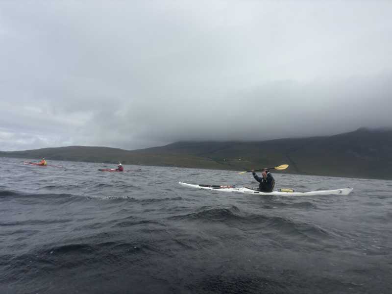
Saturday morning saw us leaving Isle Martin and heading north towards the Summer Isles. Isle Martin has had a surprisingly varied past for a wee island – from early Christian activity to herring curing and even a flour mill – and is now community owned.
After rounding the island in a decent breeze, we headed across towards Horse Island, arriving a couple of hours later for a well-earned lunch stop.
From Horse Island we carried on towards Tanera Mòr, the largest of the Summer Isles, stopping briefly in its nicely sheltered bay. Tanera has a long maritime history: its natural anchorage provided shelter to Viking longships and later to the herring fleets, with a herring station established there in 1784.
The islands themselves are mostly formed from ancient Torridonian sandstone, laid down around a billion years ago – which puts our 25 km journey into some perspective.
From Tanera we headed for our home for the night, Isle Ristol. Our cunning plan to use the channel on its eastern side was thwarted by arriving at low tide and discovering a slight shortage of sea.
With the shortcut rejected, we took the scenic option and circumnavigated the island instead, turning the planned 23 km into 25.7 km.
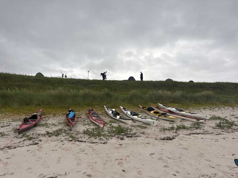
We set up camp safely above a lovely beach before heading back down to make dinner. Chairs were positioned at what we confidently judged to be a safe distance from the incoming tide.
The tide disagreed.
We played chicken for a while. We lost. The chairs moved.
Dinner was followed by a small fire on the beach, toasted marshmallows and a cracking sunset, while we watched the tide continue its successful occupation of our former seating area.
A very good end to the day.
Day 2 — Isle Ristol to Achmelvich
16 August · 29.3 km · words by Danny Nisbet
The early morning rain stopped and we launched at 9.30 in clear skies and light winds.
Our target was Achmelvich.
We left our campsite on the north side of Ristol and headed north for the mainland and hugged the rocky coast around Rubha Coigeach continuing SE for 1km or so.
We then headed due East over the open water of Enard Bay for approximately 6Km before reaching Fraochlan.
We continued up the coast crossing the mouth of Loch Kirkaig and Loch Inver.
Upon reaching Loch Roe, we decided to venture into the loch which is considered to be very scenic and we all agreed it well worth the effort.
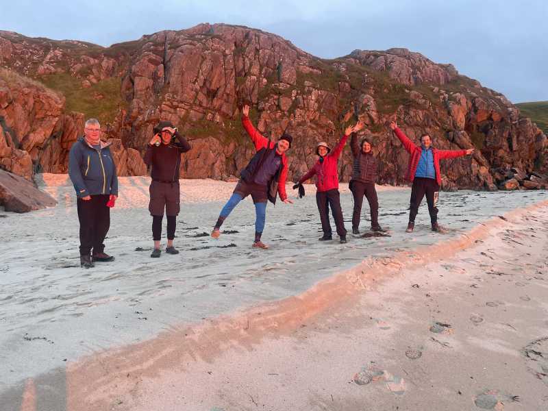
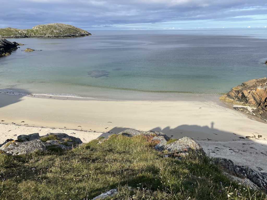
Upon exiting Loch Roe, we rounded the headland and paddled into Achmelvich Bay with its two beautiful pristine beaches. We aimed for the quieter more northerly beach.
The sun was shining and it looked exquisite.
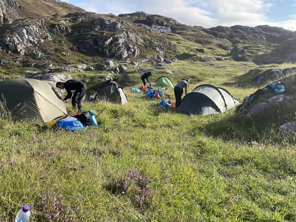
After setting up camp on high ground overlooking the beach, we walked to the nearby campsite where we had an enjoyable ice-cream, some even had fish & chips.
Heading back to our campsite we were lucky to find various bits of driftwood which was in short supply but enough to have a beach campfire and of course the associated beers and malt whisky nightcap.
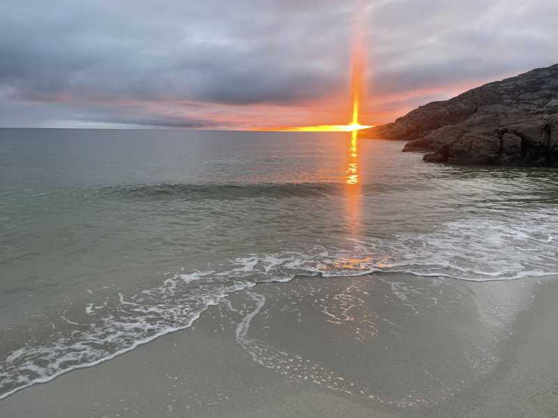
It was a memorable day which included the sighting of otters, a dolphin display and a stunning sunset but I must share my highlight of the day :-
I noticed one of the dolphins, about 50M away, set itself up, take aim, then come racing towards me, like a torpedo, with only its dorsal fin showing.
40M, 30M, 25M, then it dived (obviously to ensure it was still on target to hit me broadside) re-surface at 20M with again, only its dorsal fin showing, still racing towards me at great speed, 10M, 5M, then at the very last second it dived under my boat.
I looked over the side and I’m sure it winked at me with a big grin on its face.
I quickly looked over the other side of the boat but it was gone, leaving only a trail of bubbles in its wake.
A Magical Moment.
Ok, maybe the wink and grin were a bit of poetic licence but everything else is absolutely true !
Day 3 — Achmelvich to Oldany Island
17 August · 29.9 km · words by Paul Roberts
Relaxed paddling before a stop at Balchladich beach to forage for driftwood for the evening camp fire.
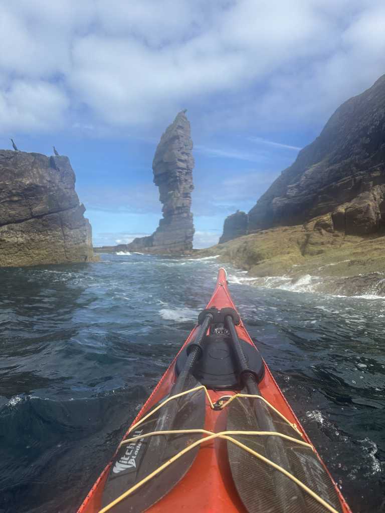
With finds piled on decks, it was onwards to the Point of Stoer, passing the 60m-high sandstone sea stack known as the Old Man of Stoer en route.
Lunch at Culkein brought a meeting with an old acquaintance for Misha.
Wildlife encounter of the day was a large (golden?) eagle on the edge of an islet not far from Oldany.
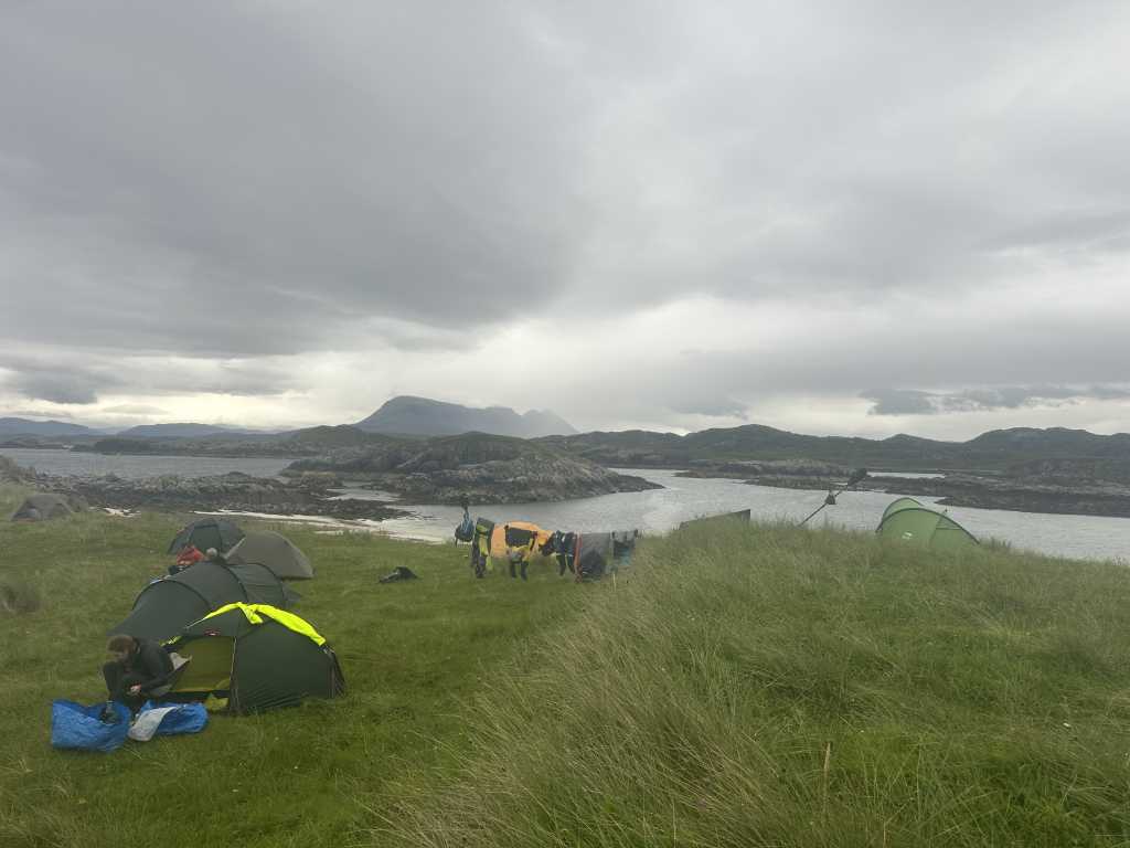
Having negotiated a maze of skerries we finally reached our campsite above a tombolo beach. However, more rain meant our firewood collection went unused as all took shelter in their tents.
Day 4 — Oldany Island to Scourie
18 August · 13.0 km · words by Misha
We left a spectacular but sodden campsite behind, as well as our mountain of firewood, having not burned a single stick! …perhaps we could consider it an offering to the gods.
Today, a crossing of Eddrachillis Bay. From Oldany we headed for the gap between Meall Beag and Meall Mòr, and there, perhaps sent from the gods to confirm our gift of firewood had been accepted, was a large golden eagle perched on a rock, staring at us from sunken eyes. It was unperturbed by our approach. The head of an eagle is like a glimpse from a prehistoric age – maybe there are only a few animals that can give us this – crocodile? Turtle?
It was blowing a fresh breeze from the south west and it was a joy to be on the sea. Of course exploring coastline is exciting, but sometimes on crossings we get a greater sense of the sea itself, emblazoning itself into our memories.
Paddling with the wind was a false positive indeed. Throughout this day, a growing realisation that the next four days would be blowing an awkward force 5/4/3 northerly, hampering further progress northward. Furthermore, a northerly 1.5m swell at 9 seconds was going to make landing at Sandwood and Kearvaig difficult and perhaps dangerous. In the cafe at Scourie we thought for two hours how to make the jigsaw fit together, but concluded Cape Wrath would not be wise. Instead we reset vehicles to move south to the Summer Isles, and to turn the northerly into a positive rather than a negative. That night we were enjoying a rare pub meal at Am Fuaran.
Why we never got to Cape Wrath
The plan was always two halves, with a car dropped at Scourie for the end of the first leg. What changed was the forecast. The next four days at the Cape were F5 gusting F7 from the ENE on the 19th, F5 from the NNE on the 20th, then F4 northerly, and a 1.5 m northerly swell at 9 seconds on top of that. It makes Sandwood and Kearvaig difficult to land and there is nothing else for about 20 km, so theres no bail out if it goes wrong.
So we sat in the cafe at Scourie for two hours trying to make the jigsaw fit, and in the end we moved the whole trip 60 km south to the Summer Isles instead. That turned the northerly from a problem into a following wind and we got eight good days out of it rather than one bad one. I think it was the right call and I would make it again.
Day 5 — Altandhu to Tanera Mòr
19 August · 18.4 km · words by Rob Plant
This was the changeover day and most of it went on the road. The boats were down at Altandhu but the cars needed moving to the far end of the new route, so every driver was out doing the shuttle, leaving one car at Aultbea and one at Gairloch. We also restocked the boats out of the cars, which is the whole point of a changeover, five more nights of food packed back into the hatches.
We finally got on the water at twenty to three, which is a late start for an 18 km day. The wind was a northerly, F3 but gusting F6, so it arrived in bursts rather than steadily.
It felt like a proper reset. Two days earlier we had been committing north up the Assynt coast with Cape Wrath still on the table, and now we were back in the Summer Isles heading out to Tanera Mòr. Same islands, completely different trip and a more relaxed and exploring pace – we poked into every cave we could on the way past.
The late start caught up with us at the other end. We got in with the light going and spent a while working along the shore looking for somewhere decent to camp. In the end we landed on the north west corner of Tanera Mòr, left the boats there, and walked across the foreshore to camp on Eilean na Saille, the little island just off it. That crossing only works around the tide, so the boats stayed on one side and we slept on the other, which we would have to think about again in the morning.


Day 6 — Tanera Mòr to Priest Island
20 August · 20.4 km · words by Pat Smith
We awoke on Eilean na Saille and were relieved to see that the tide over the foreshore allowed a crossing to NW Tanera Mòr where the kayaks were grounded.
Top end F4 northerly for the day.
We set off in search of Rob’s glasses lost on a nearby shore line. Then on to The Anchorage, protected east facing shore of Tanera Mòr. We landed on the beach, took in the ambience of the island and lunched. We were struck by the craftsmanship in the road and dyke building and house renovation. Learn more about Tanera Mòr here https://www.tanera.org
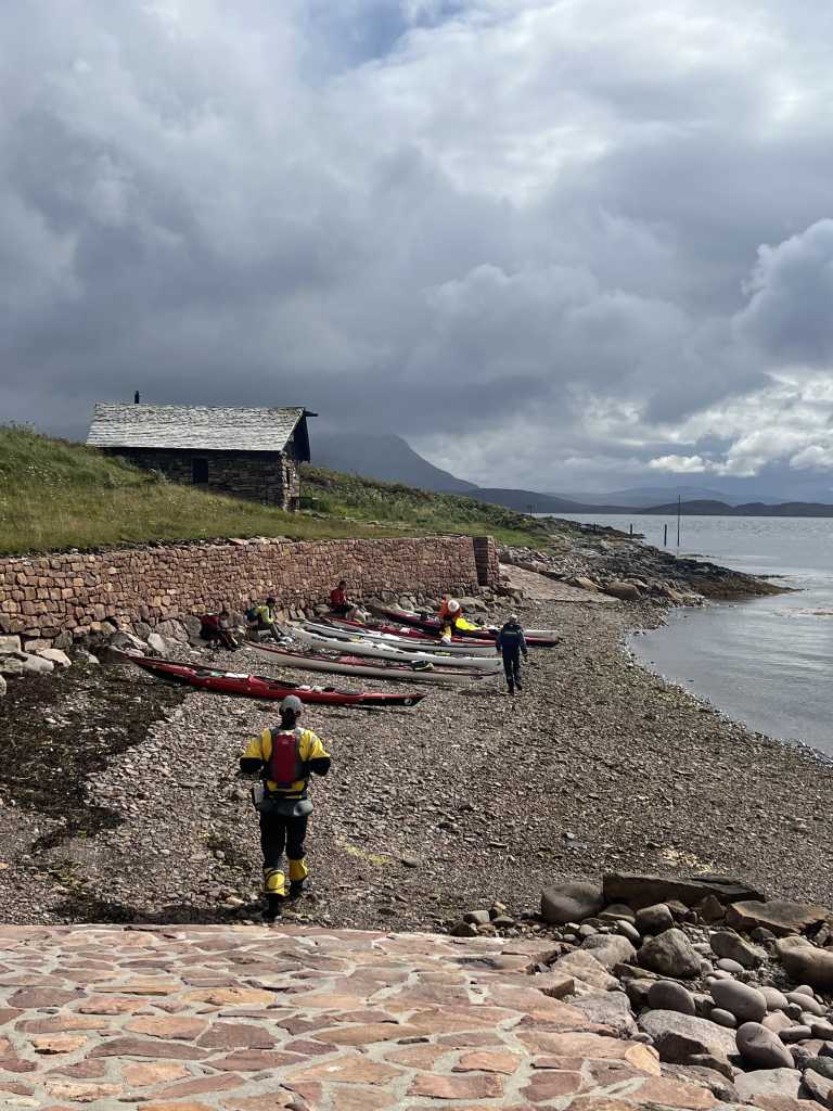
On leaving, we were propelled by the Northerly to the S end of the island before crossing 2.5km to Eilean Dubh and on to south end Carn Deas in feisty conditions. The final 3km leg to Priest Island looked daunting in a cross wind and swell. Misha set up a circuit from a sheltering outcrop to test ourselves in the conditions. All systems go! as we set off for Priest island. We crossed in pairs and stayed close despite the conditions. It was exciting! We ended the day with a down wind paddle into the stony bay. It was good to be there.
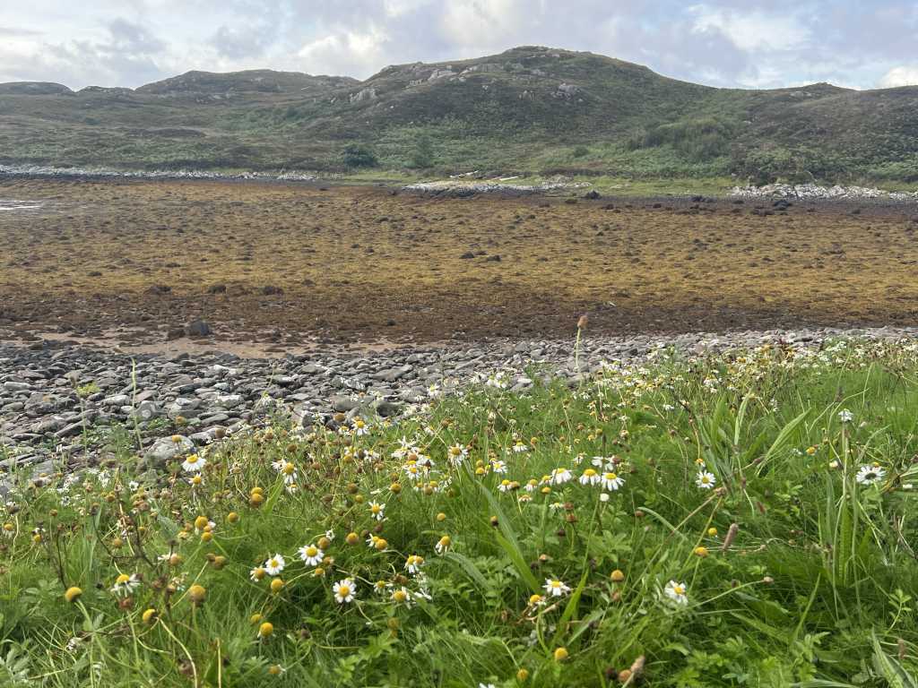
We camped, feasted and explored the island before the weather came in.
Day 7 — Priest Island to Slaggan Bay
21 August · 23.6 km · words by Rob Plant
It felt like the coldest day of the trip. The weather had come in overnight on Priest Island and we were away in the morning, round onto the north side of the island.
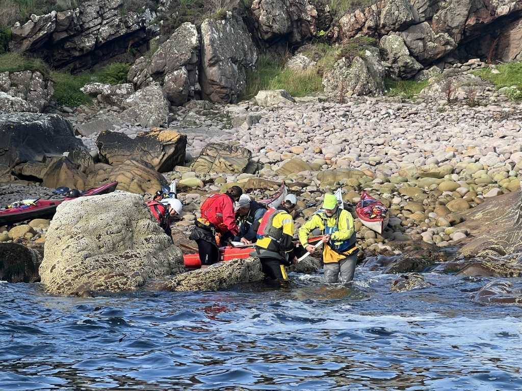
That north side turned out to be the best paddling of the week. There was a decent wind and a decent swell running, and the structure of the island gave us waves to play with the whole way along, so we worked our way through the rocks rather than just paddling past them. The thing that made it work was that nothing was breaking onshore, so you could get in among it without much risk of being picked up and put somewhere you didnt want to be. We took our time and played about all the way along.
Then it was out into open water for the run down to Slaggan Bay, and this was the day the decision at Scourie paid for itself. A northerly F4 gusting F5 is the same wind that stopped us going round Cape Wrath, and heading south east across the mouth of Gruinard Bay it was behind us instead of in our faces. Three days earlier that forecast was the reason to turn back, and now it was just pushing us along.
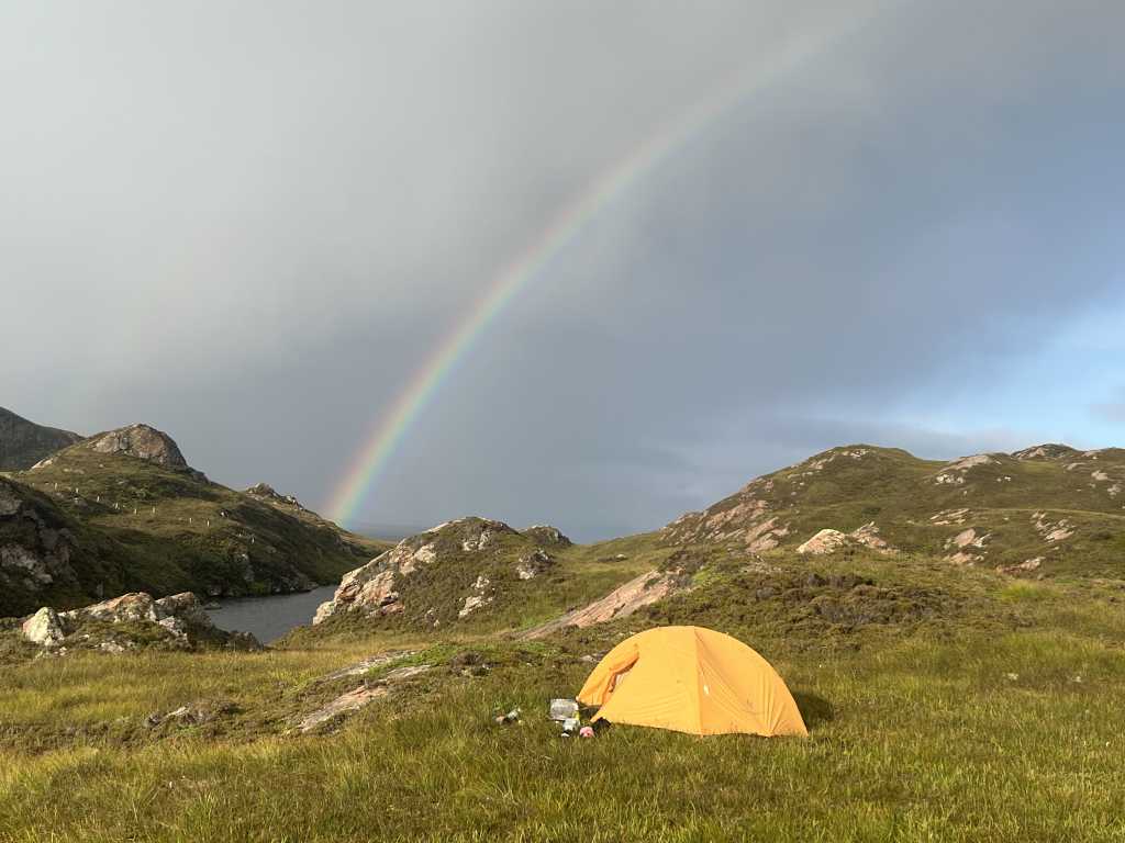
We landed at Slaggan Bay and camped, and the midges were waiting for us. Last night of the trip, with only the run into Gairloch left in the morning.
Day 8 — Slaggan Bay to Gairloch
22 August · 30.7 km · words by Bev
The final day dawned as midgey as the night before, so breakfast on the beach (with much discussion of bacon butties) was a must, though slightly more focused given the earlier start dictated by the need for a longer than usual paddle. Kayaks were retrieved from their high-above-high water mark ultra safe location and packed as well as midge and sand allowed. Of course, a final shower ensured that the tents were wet. Just after 9am, we launched out into the bay with a slight headwind and a gentle swell, and looking forward to the promise of a following wind for the final stretch of what had been billed as a 30km day.
After crossing over Loch Ewe, the slackening tide was with us, but little assistance was felt even as we rounded Rubha Rèidh enjoying the view of the lighthouse. With the distance to cover on our minds, the team was not even distracted by rock hopping opportunities of the cliffs and rock formation unfolding before us! Heading south after Rubha Rèidh, we paddled on, the wind now to our side, and landed for a welcome break and lunch just after Melvaig, with a slightly surf-y landing onto a rocky beach. A quick check of maps and tracking apps advised that we were over half-way, having covered around 19km already! Rob conserved energy having lunch close to his boat, whilst the remainder of the team staggered up the rocky beach glad to stretch our legs and to dream of bacon butties.
Launching again, we soon reached the mouth of Loch Gairloch, turning the corner at Rubha Bàn, and passing between Longa Island and the Big Sands camp site. Gairloch was in sight now, but there was a long stretch where the town never seemed to come any closer, and sadly the looked for following wind never materialized, with the wind dying out completely. Gradually however we could make out cars, windows on houses and then people. At long last. we reached the slipway, the kayaks were carried up and Geoff was dispatched to collect his car from the Community Centre so that the shuttle for the other vehicles could begin. Weary paddlers began to unpack their boats as fittingly it started to rain inbetween spells of hungry midge. Later, it was found that the 30km paddle had in fact been 35km!
With the boats loaded, it was time to bid farewell to Rob and Paul, who were heading back to Glasgow that night, whilst the remaining team travelled onwards to Beauly for a delicious curry carry-out – for which Danny had uniquely negotiated us a space in the restaurant (plates, cutlery and toilets!!) and then on to sample the generous hospitality of Team Somerville Senior. We slept soundly that night and woke to the smell of Misha frying bacon! The bacon butties had become a reality! A truly fitting end to an amazing trip, with thanks to everyone for contributions. Roll on next year!

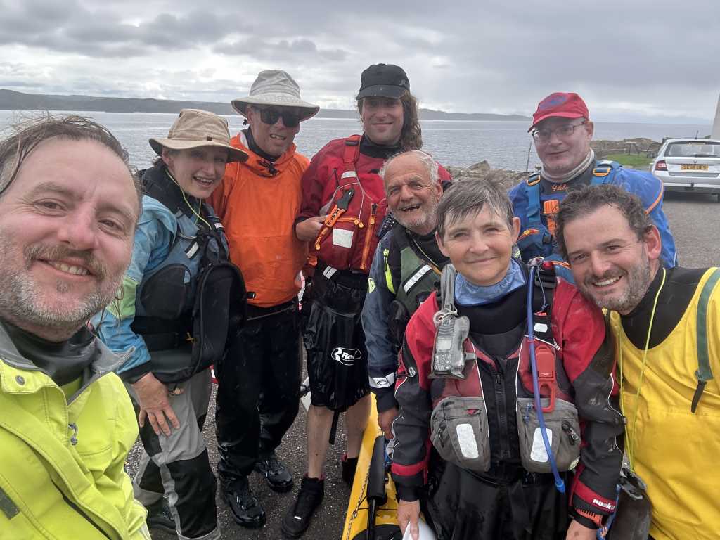
These are only a few of the photos. The whole trip is up on smugmug at Tide Ticker NW Coast Expedition.